Where the Map Ends, the Evidence Thins

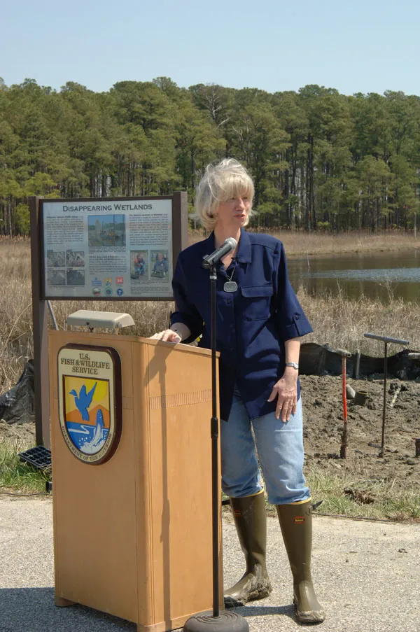
Photo: Sidneysaad, CC BY-SA 4.0, via Wikimedia Commons
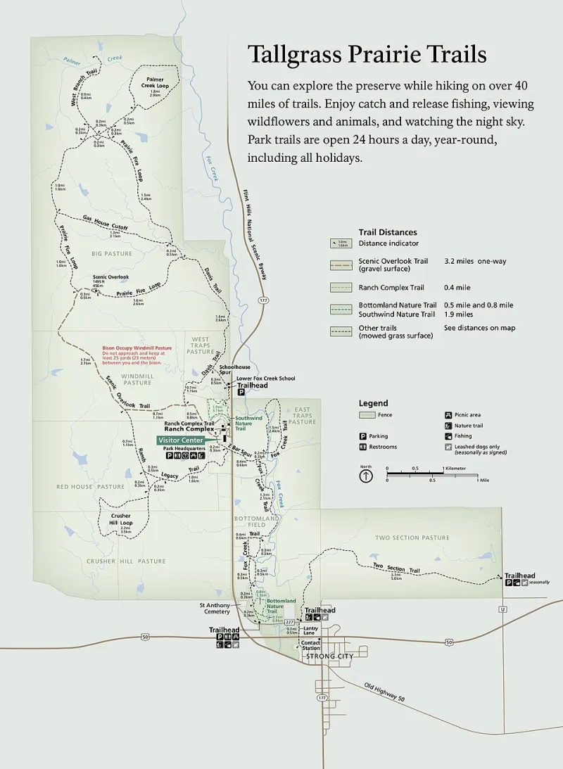
Conservation in the United States is organized around lines that ecology does not recognize. A watershed can pass through a dozen counties and several states. A wildlife corridor may be permitted in one jurisdiction, monitored in another, and funded by a third. Climate-driven shifts in habitat, fire risk, and species range move across the same administrative borders that structure public programs. The result is not merely a coordination inconvenience. It is an evidence problem. When funding, permitting, and monitoring are divided by county and state lines, agencies, land trusts, and researchers can accumulate substantial local data without being able to answer regional questions. This analysis argues for a cross-jurisdictional data standard built on shared indicators, common metadata, and federated governance. The aim is not to erase local authority but to make the exercise of that authority legible beyond the border.
Administrative Convenience, Ecological Mismatch
Public conservation programs are necessarily administered through existing institutions. Counties issue permits, states manage wildlife and water quality within their boundaries, and federal agencies operate through regional offices. These arrangements reflect legal authority and budget cycles, not ecological scale. A county may report acres treated, permits issued, or restoration projects completed. A state may track species of greatest conservation need through its wildlife action plan. A land trust may hold easements across multiple counties and report stewardship activity to donors and accreditors. Each record can be accurate within its own frame. The difficulty arises when those records are assembled into a regional picture.
The mismatch is familiar in watershed management, where upstream land use affects downstream water quality, and in corridor conservation, where a single blocked crossing can undermine a larger migration route. It appears in invasive-species response, where treatment schedules differ across property lines, and in prescribed-fire programs, where smoke management and liability rules vary by jurisdiction. It is also visible in climate adaptation, where species move faster than the boundaries of the plans designed to protect them. Administrative geography is not the problem by itself. The problem is treating administrative geography as if it were also an ecological unit.
The Comparability Problem
Jurisdictional fragmentation produces two distinct forms of uncertainty. The first is a blind spot: an outcome that no single jurisdiction has responsibility or incentive to measure. The second is a comparability gap: two jurisdictions measure related outcomes in ways that cannot be reliably combined. One county may count restoration by acreage planted, another by acres under management, and a third by survival rates after three years. A state may classify habitat by one vegetation standard while a neighboring state uses another. A land trust may report stewardship visits as a proxy for compliance, while a public agency reports violations. None of these choices is inherently wrong. Together, however, they make cross-border evaluation difficult and can reward activities that are easy to count rather than outcomes that matter.
This is not a call for a single national accounting system. Conservation is place-based, and local institutions hold knowledge that centralized systems routinely miss. But comparability does not require uniformity. It requires a shared minimum: common definitions for a small set of outcome indicators, transparent metadata describing how local data were collected, and documented crosswalks between local classifications and regional summaries. A county should be able to retain its own permitting categories while mapping them to a shared indicator set for regional analysis. A state should be able to preserve its wildlife action plan structure while contributing comparable information on habitat condition, connectivity, and management status.
Blind Spots at the Border
Border zones are where evidence tends to thin. A wildlife corridor that crosses a county line may receive monitoring on one side and none on the other. A floodplain restoration project may be evaluated for local flood control but not for downstream nutrient reduction. A prescribed burn may be recorded as a treatment in one jurisdiction and as an air-quality event in another, with no shared record linking the two. These gaps are not usually caused by negligence. They follow from the structure of authority and funding. When a program is accountable to a county board or a state legislature, its reporting requirements tend to stop at the jurisdiction line.
The consequence is that regional outcomes can appear better or worse than they are. If one state invests in post-treatment monitoring and its neighbor does not, a regional comparison may simply reflect reporting effort rather than ecological performance. If counties use different definitions of success, a funder may conclude that one approach is superior when the difference lies in measurement. For institutional partners and research networks, this limits the ability to synthesize evidence across portfolios. For policymakers, it obscures whether public investment is producing durable results at the scale that matters.
A Federated Standard, Not a Federal Takeover
A cross-jurisdictional data standard should be federated. That means local agencies and land trusts continue to hold and govern their own records, while a shared framework specifies the minimum fields, definitions, and quality checks needed for aggregation. The framework would not dictate local priorities. It would make local choices visible and comparable. A practical standard would include a small core indicator set, such as acres under active management, habitat condition class, connectivity status, treatment type, and outcome verification method. It would require common metadata on collection date, method, spatial resolution, and responsible entity. It would provide crosswalks for common local classifications rather than forcing every jurisdiction into one taxonomy.
Governance matters as much as technical design. A shared standard should be developed with counties, states, tribes, land trusts, and research partners at the table. It should recognize data sovereignty and confidentiality where appropriate, especially for species locations and culturally sensitive lands. It should include an audit function so that aggregated indicators can be traced back to source records. And it should be voluntary enough to attract participation but specific enough to support credible regional analysis. The goal is interoperability, not centralization.
What Shared Indicators Would Require
Shared indicators require more than a data dictionary. They require agreement on what counts as evidence. For restoration, that may mean distinguishing between activities completed and outcomes verified. For connectivity, it may mean documenting barriers, crossings, and monitoring intervals. For stewardship, it may mean reporting both compliance checks and corrective actions. These distinctions are not academic. They determine whether a regional summary reflects ecological change or merely administrative activity.
A second requirement is investment in the connective tissue: data stewardship, training, and quality assurance at the local level. Many counties and small land trusts lack dedicated data staff. A standard that assumes capacity will reproduce the same gaps it is meant to close. Funders and state agencies should treat data stewardship as an eligible cost, not an afterthought. Research networks can help by publishing implementation guides, testing crosswalks, and documenting where local definitions diverge.
The 2026 Opportunity
As agencies prepare 2026 program guidance and land trusts assemble multi-year stewardship reports, there is an opening to make cross-jurisdictional comparability an explicit objective rather than an accidental byproduct. Federal and state programs need not mandate a single system. They can require a shared minimum indicator set for any regional or statewide aggregation, with local systems mapped through documented crosswalks. Philanthropic funders can ask grantees to report against the same core indicators without demanding identical local methods. Researchers can prioritize studies that test whether cross-border outcomes differ from within-jurisdiction outcomes, and why.
The county line is a legal fact, not an ecological one. Conservation policy cannot abolish it, and it should not try. But policy can ensure that the evidence base does not stop there. A federated standard for shared indicators would let local institutions keep authority while giving regional partners a defensible way to compare, learn, and allocate resources. Without it, the map will continue to determine what we can see, and what we cannot.